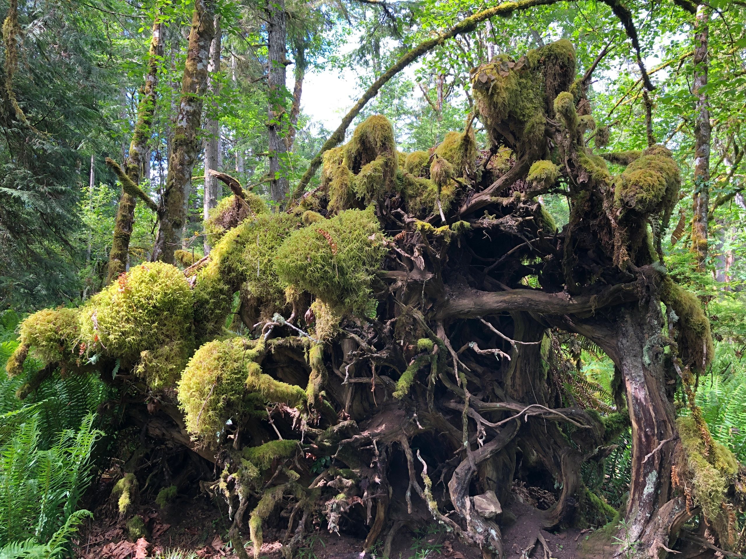
🇨🇦
Farm Stand Festival — July 1–5, 2026  ·  Free & open to all
🍁 Plan Your Tour
🥾

Hiking Trails & Lookouts

Mountain summits, coastal paths and forest walks

Hiking trails on Salt Spring Island
← Back to Farm Stands

Salt Spring Island has over 3,000 acres of provincial parkland and community conservation land laced with trails. From the sweeping vistas of Mount Maxwell to quiet forest paths, hiking here connects you to old-growth forests, wildflower meadows and panoramic ocean views.

🗺️ View on the Interactive Map

Open our Google My Maps and select the Hiking Trails layer to see all locations pinned on the island. Use the legend icon (☰) in the top-left corner to toggle between map layers.

Open Google Map →

🥾 Trails & Lookout Spots

🏔️

Mount Maxwell Provincial Park

Salt Spring's iconic summit hike. Trail to the top rewards with 360° panoramic views over the Gulf Islands. Moderate difficulty.

SummitViewsModerate

Park access from Cranberry Rd or Musgrave Rd

🌲

Ruckle Provincial Park Trails

Extensive trail network through old-growth forest, coastal bluffs and heritage farmland. One of BC's most scenic parks.

Old growthCoastalMultiple trails

Beaver Point Rd — 1,200 acres of trails

🌲

Mount Erskine Provincial Park

Forested hike to a rocky summit with views of Sansum Narrows and Vancouver Island. Good trail for all levels.

ForestViewsAll levels

Collins Rd / Erskine Rd, North End

🌿

Burgoyne Bay Provincial Park

Old growth Douglas-fir forest with trails above Burgoyne Bay. Connects to Mount Maxwell trails.

Old growthBay viewsConnecting trails

Burgoyne Bay Rd, Fulford area

🌿

Peter Arnell Park (NALT)

Quiet forested trail maintained by the Salt Spring Island Conservancy. Peaceful walking through second-growth forest.

ForestQuietConservancy

Norton Rd

🌸

Reginald Hill

Short but rewarding hike with wildflowers in spring and views of Fulford Harbour from the rocky summit.

ViewsWildflowersShort

Isabella Point Rd, South End

🏔️

Mount Sullivan

One of Salt Spring's lesser-known summits. Trail through dry forest to open rocky top with excellent views.

SummitViewsLess crowded

Mid-island access

🌊

Quarry Drive Bluffs

Short walk along the bluffs on the northeast side of the island. Great views of the Strait of Georgia.

BluffsViewsShort walk

Quarry Drive, North End

🦆

Duck Creek Trail

Gentle creek-side walking trail through mature forest. Popular with locals for an easy woodland walk.

CreekForestEasy

Central island

🌹

Isabella Point Park

Scenic trail along the island's southern tip with views across to the Gulf Islands. Wild roses in summer.

CoastalViewsWild roses

Isabella Point Rd, South End

🐾

Chris Hatfield Trail

Community trail connecting neighborhoods with views of the Gulf Islands. Dog-friendly.

Community trailViewsDog-friendly

Various access points

🌊

Musgrave Landing Trail

Remote trail down to Musgrave Landing on the rugged west shore. Dramatic views of Vancouver Island.

RemoteRuggedVancouver Island views

Musgrave Rd, South End